Our areas of expertise
BIM process | Digital mock-ups

As precursors in the integration of the BIM process into infrastructure projects, we want to accelerate the use of BIM and its benefits and its inclusion in all the phases of a construction project and by all the technical specialities mobilised.
Having a good command of the field data turns out to be a major asset in meeting this challenge, as these data are essential to any construction project are acquired, processed and checked by our specialist teams.
These raw materials allows us to be agile in integrating the BIM process into numerous dimensions of your projects.

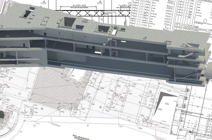
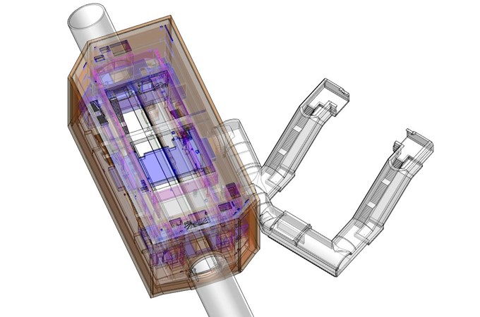
We can produce the digital mock-ups for your infrastructure:

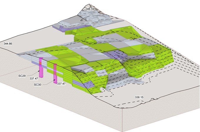
As a complement to soil investigations, more technical and more detailed, BIM is a window that allows the subsoil morphology of a site to be represented in a more visual way.
Working with our Geotechnical Engineering, Hydrogeology, Environment and other departments, our BIM teams are working to integrate subsoil data into their modelling, taking account of the relative uncertainties due to data from in situ investigations with respect to the geological reality of the terrain.

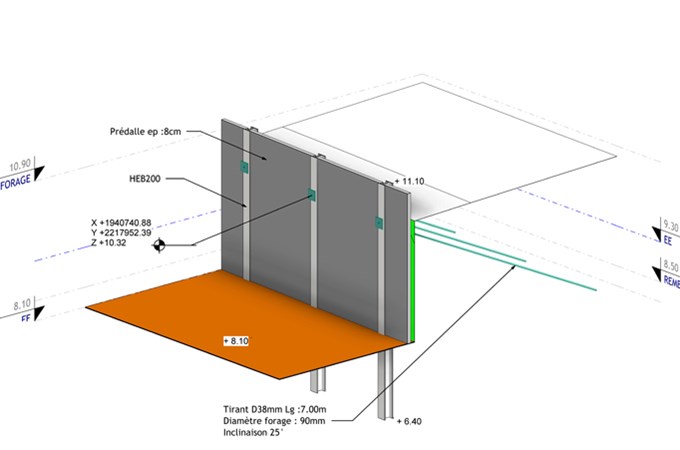
In the geotechnical design survey phase of your construction or development project, we can support the engineers by modelling the recommendations of the geotechnical structures in the digital mock-up.
These models concern geotechnical structures and design or construction plans for the G2PRO and G3 phases, relating to foundations (shallow or deep), retaining structures (nailed walls, Berliner wall, sheet piles), etc.
These models are based on different data:

Fondasol Group in 2023
revenues
fondasolers
of the capital held by employees
sites worldwide